


and Mapping Services

Our drones capture high-resolution 2D maps and 3D models, providing real-time precision where satellite imaging falls short. We collect aerial images and stitch them together into detailed orthomosaic maps using overlapping photos of a defined area. With advanced software, these maps are georectified to ensure accurate and reliable insights.
Our aerial photography and videography services capture stunning, high-resolution imagery for a variety of needs.
Whether showcasing residential or commercial real estate, covering sports and personal events, or creating dynamic marketing content, our drones provide breathtaking perspectives. We also offer aerial capture of construction sites, infrastructure, and agriculture, delivering precise data for planning and analysis.
Our drone services are competitively priced to provide exceptional value while offering flexibility to meet your specific needs. We prioritize quality, precision, and fast turnaround times, ensuring you get reliable aerial data without compromise. Whether you need a one-time service or ongoing support, we have cost-effective solutions tailored to your project.
Operating Area
We currently operating in surrounding DC Metropolitan area that is beyond the Flight-Restricted Zone (FRZ) that extends approximately 15 nautical miles (about 17 statute miles) around Ronald Reagan Washington National Airport.
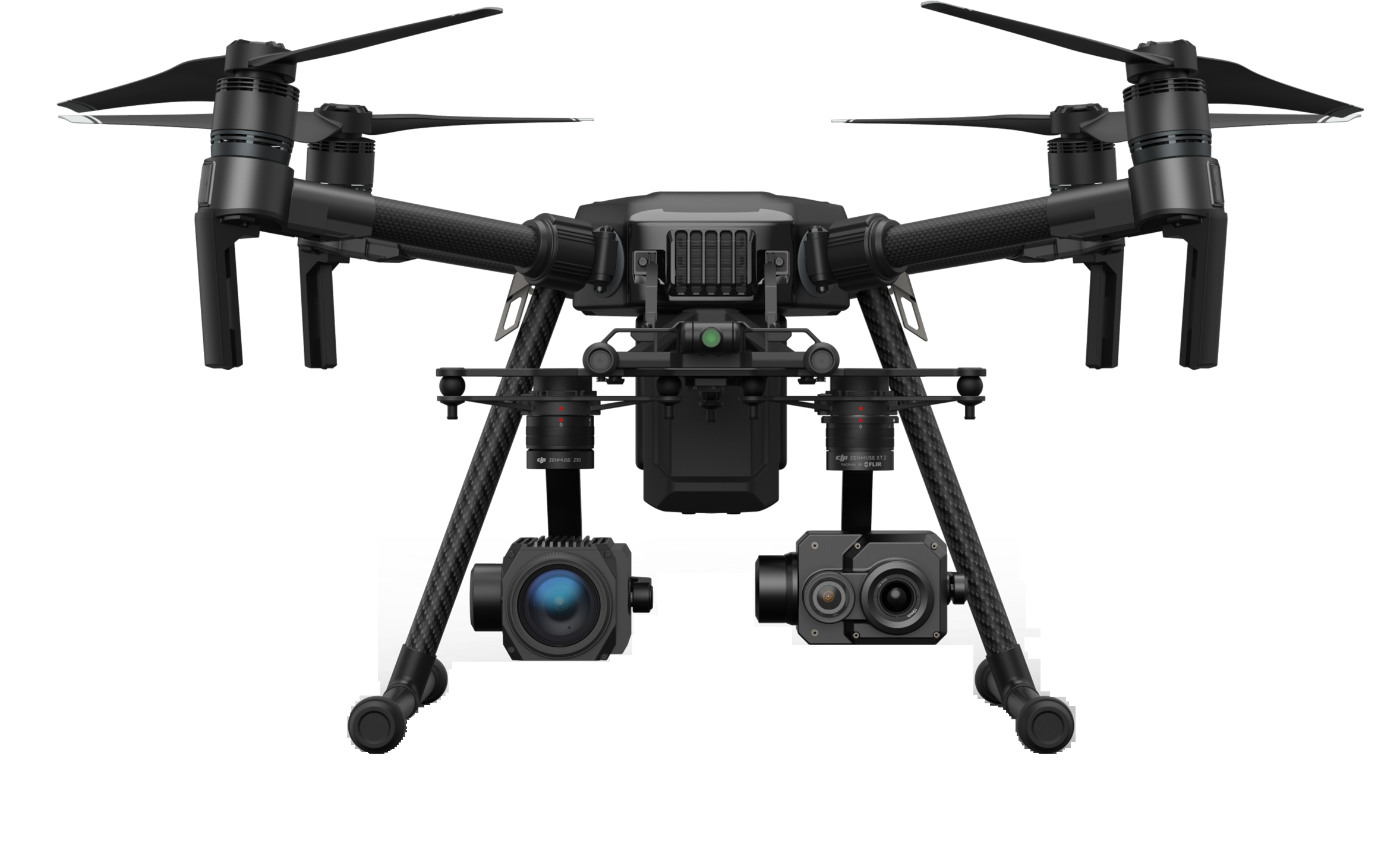
meFly4U.com: Who We Are

I am a private pilot with instrument rating (PPL/IFR) and I am FAA-certified by FAA commercial drone (UAV) pilot under FAA Part 107 rules.
Olexiy (Alex) Karakcheyev
With thousands hours of commercial flight experience, I am a dedicated drone pilot specializing in aerial photography, videography, orthomosaic mapping, and 3D modeling. My expertise spans aerial surveys, construction site monitoring, and high-resolution imaging, providing clients with precise and visually compelling data. Passionate about innovation, I leverage advanced drone technology to deliver accurate, high-quality results that support industries ranging from real estate to infrastructure development.